AERO FIRE INTELLIGENCE BLOG
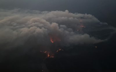
Electra Incident – July 4, 2022
The Electra Fire was active in Calaveras and Amador Counties for a total of 120 days, burning a total 4,478 acres. 452 structures were threatened by this incident.
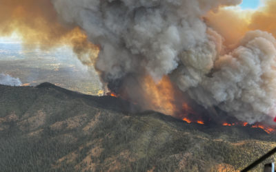
Oak Incident – July 22, 2022
The Oak Fire was active in Mariposa County for 102 days, burning a total of 19,244 acres and destroying 193 structures. 3 Firefighters were injured.
Live IR into IC Fire Camp
mapped over 100 Million acres, 493 fires. Thermal IR live-streamed to firefighters when our mesh radio-van was ordered.
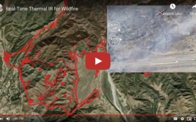
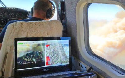
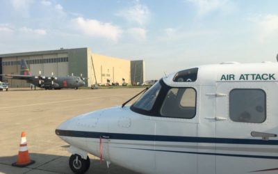
Courtney Aviation NIROPS fire mapping and live IR to ground teams
Courtney Aviation provides tactical aviation services including aerial Infrared mapping of California wildfires shared with ground crews and fire management teams. This video shows technology in action on the 2020 Apple fire.
Courtney in Wall Street Journal
High-Tech Planes, Supercomputers and Helitankers Help Fight Wildfires California Fire crews abandon hand-drawn maps for up-to-date information on phones to track and extinguish blazes faster. By Erin Allworth for The Wall Street Journal LOS PADRES NATIONAL FOREST,...
Courtney Aviation on Linkedin
Dispatches from Courtney Aviation on Linkedin July 2020 Seeing what you say in national news every day is strange. Incidental to mapping all SoCal fires, we produce an acreage count, usually around midnight. It's not why we are there, but no one else on the fire can...
Contact Courtney Aviation
We are based in Columbia, California, northwest of Yosemite National Park. Please call or email us with your questions, or to connect with one of our staff.
Courtney Aviation
10000 Technology Dr
Columbia, CA 95310