Dispatches from Courtney Aviation on Linkedin
July 2020
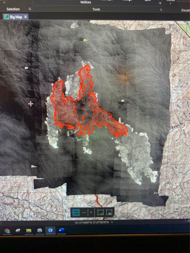
Seeing what you say in national news every day is strange. Incidental to mapping all SoCal fires, we produce an acreage count, usually around midnight. It’s not why we are there, but no one else on the fire can do it. I consistently recognize that number and our maps the next morning when browsing the news.
Got an ‘attaboy yesterday from the Lake Fire. The Situations Chief said he was very happy with our maps. I asked why. It was his first time using us he said, and what we produce is good. Thanks. Flying and capturing is the easy part, but being painstaking accurate with the data is tough late at night when software keeps crashing. Nice to be appreciated.

July 2020
It’s a war. Got called yesterday to chase down 1100 lightning strikes. My plane mapped 30 fires around San Francisco. Our other mapping plane flew until midnight doing the same. One of the fires got mapped 4 times and you can see how much it grew from noon to evening. At the base we are surrounded by military planes and air liners converted to fire fighting.


More from Courtney Aviation on Linkedin.